Author: UrbanyFolk_1
-
High Line to Hudson River Itinerary
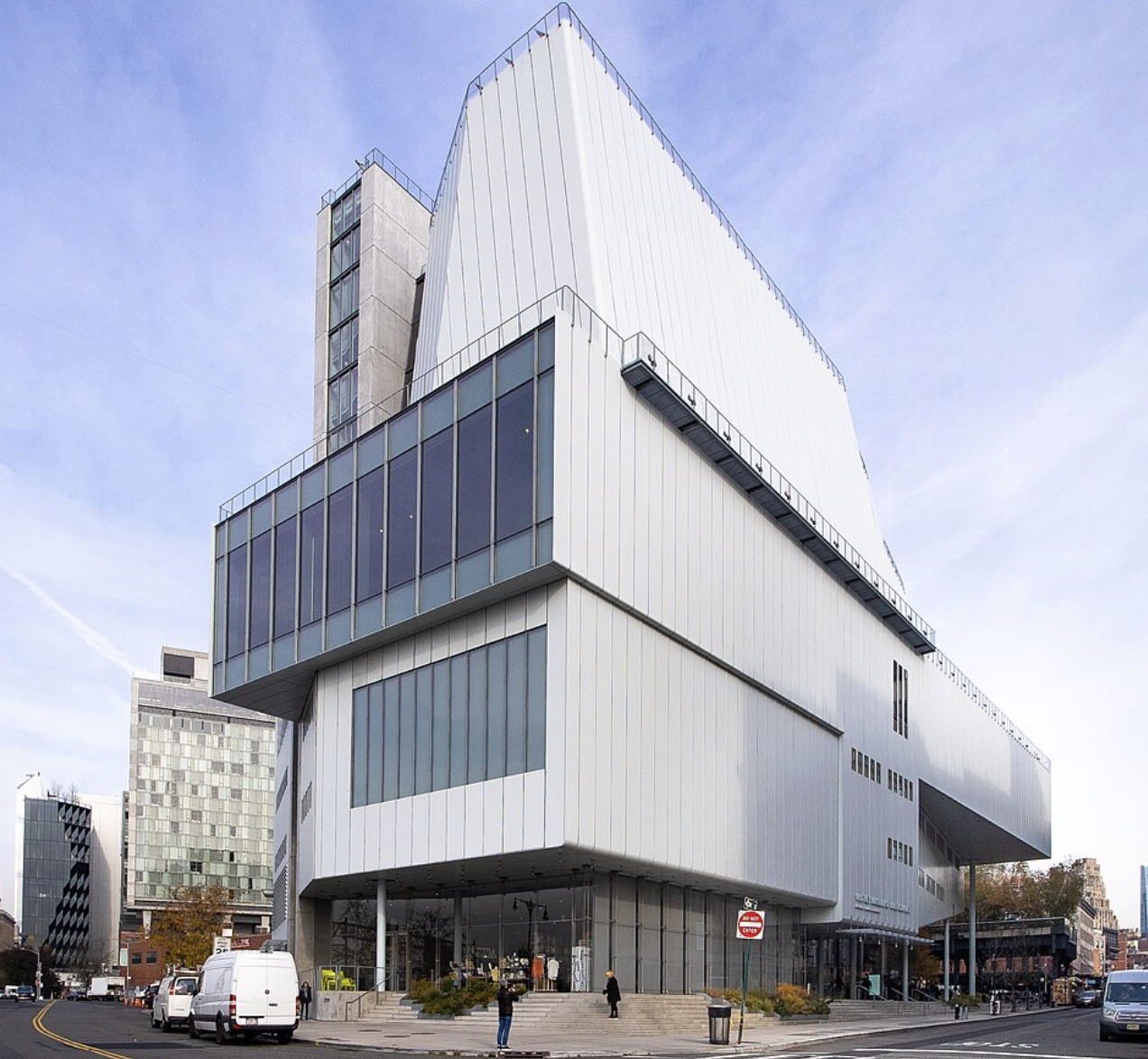
The West Side Pivot: A One-Day High Line to Hudson River Itinerary The West Side of Manhattan has undergone a profound transformation over the last two decades, evolving from a gritty industrial corridor into a premier destination for modern architecture and urban landscape design. This itinerary, “The West Side Pivot,” focuses on the seamless transition…
-
Hudson River: Manhattan’s Waterfront Strategy
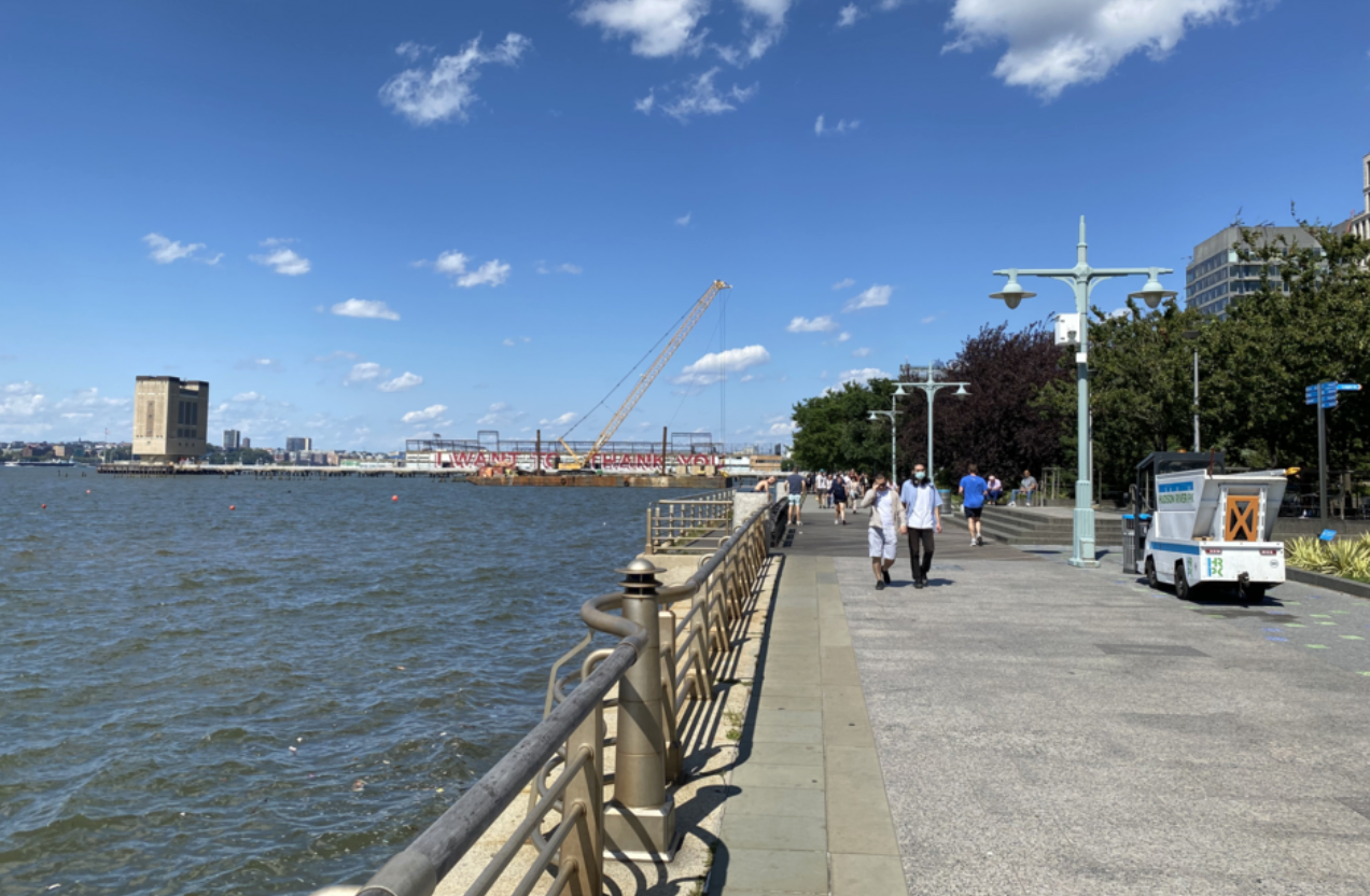
Navigating the Hudson River: Manhattan’s Waterfront Strategy The Hudson River side of Manhattan—specifically the Hudson River Park—is a 4.5-mile ribbon of piers, gardens, and pathways stretching from Battery Park to 59th Street. Unlike the internal green “rooms” of Central Park, the Hudson waterfront is an expansive, wind-swept “front yard” that offers the best sunset views…
-
Central Park: A Practical Logistics Guide
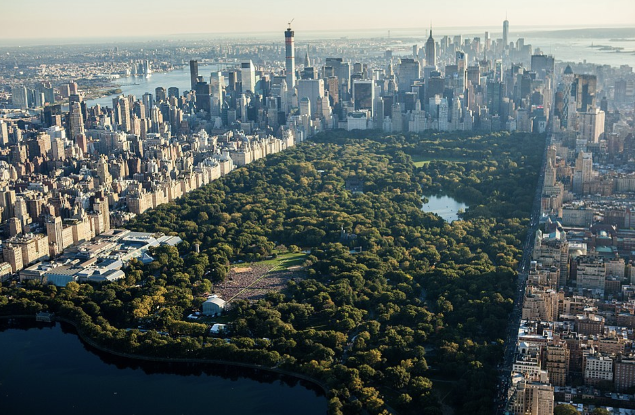
Navigating Central Park: A Practical Logistics Guide Central Park is not just a park; it is an 843-acre urban ecosystem that serves as the literal lungs of Manhattan. Stretching from 59th Street to 110th Street, its scale often catches travelers off guard. To experience it effectively, you must approach it with a specific plan, as…
-
Essential New York City: A Guide to the Five Pillars of the Five Boroughs
Essential New York City: A Guide to the Five Pillars of the Five Boroughs New York City operates as a collection of micro-cities, each defined by its own architectural legacy and cultural density. Navigating the city effectively requires more than just a list of locations; it requires an understanding of how these spaces function within…
-
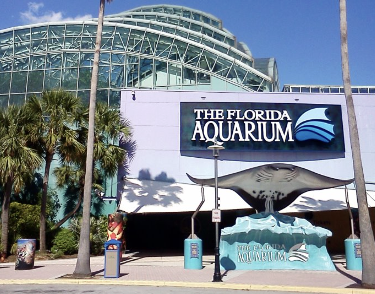
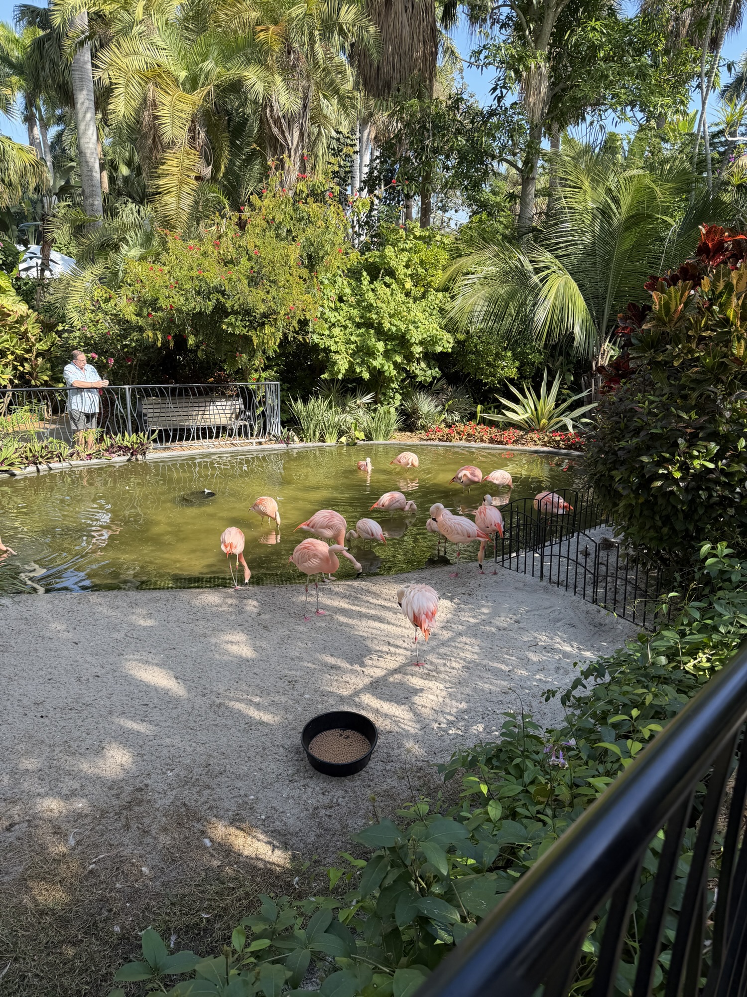
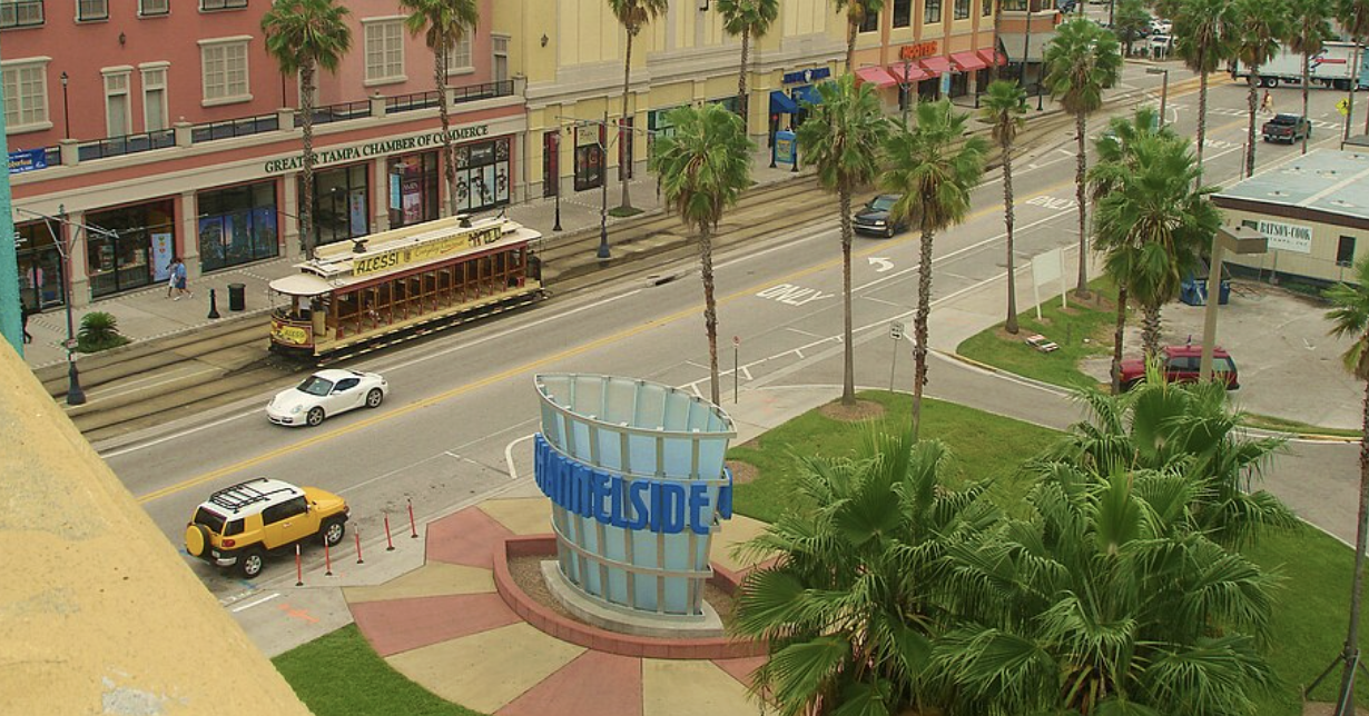
The Tampa Bay Family Survival Guide: 7 Spots Kids Will Actually Love
The Tampa Bay Family Survival Guide: 7 Spots Kids Will Actually Love Navigating the Tampa Bay Area with children requires a strategic approach to high humidity and the region’s sprawling urban layout. While the Gulf beaches are a primary draw, the inland urban core offers a dense concentration of educational and high-energy attractions that cater…
-

The Urban Draft Route: Navigating Tampa Bay’s Craft Beer Hubs
The Urban Draft Route: Navigating Tampa Bay’s Craft Beer Hubs To understand the Tampa Bay craft beer scene, you have to understand its geography. This isn’t a single street of taprooms; it is a sprawling, multi-city ecosystem. Tampa proper leans into heavy industrial spaces in Ybor City and neighborhood-integrated spots in Seminole Heights. Across the…
-
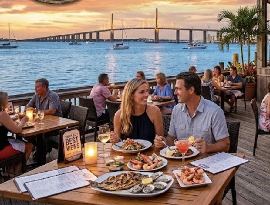
The Ultimate Tampa Bay Waterfront Dining Guide
The Ultimate Tampa Bay Waterfront Dining Guide To give you the most accurate recommendations, it helps to gently correct a common geographical misconception: the Tampa Bay area is split between two distinct types of waterfronts. The western barrier islands face the open Gulf of Mexico (providing true “ocean” horizons and sunset views), while the interior…
-
A Tactile Urban Route: Botanicals, Street Culture, and Waterfront Drafts in St. Pete
A Tactile Urban Route: Botanicals, Street Culture, and Waterfront Drafts in St. Pete Structuring a day in downtown St. Petersburg requires an understanding of the city’s east-west layout. The downtown core is anchored by Tampa Bay to the east and stretches westward along Central Avenue, transitioning through several distinct, highly walkable districts. This itinerary strategically…
-
A Complete Marine Itinerary: From Gulf Charters to Clearwater Sands
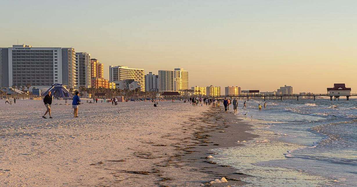
A Complete Marine Itinerary: From Gulf Charters to Clearwater Sands Executing a multi-activity day on Clearwater Beach requires careful logistical planning, primarily because navigating the barrier island involves dealing with a single major entry point—the Memorial Causeway (State Road 60). This itinerary is structured to consolidate transportation by anchoring the first three activities directly at…
-
A Definitive Gulf Coast Urban Itinerary: Tampa to St. Pete
A Definitive Gulf Coast Urban Itinerary: Tampa to St. Pete Structuring a full-day itinerary across the Tampa Bay area requires a strategic approach to logistics, as the region spans multiple distinct downtown cores separated by water. This route moves chronologically through the city’s dense urban center, shifts east to the historic cigar-rolling district of Ybor…